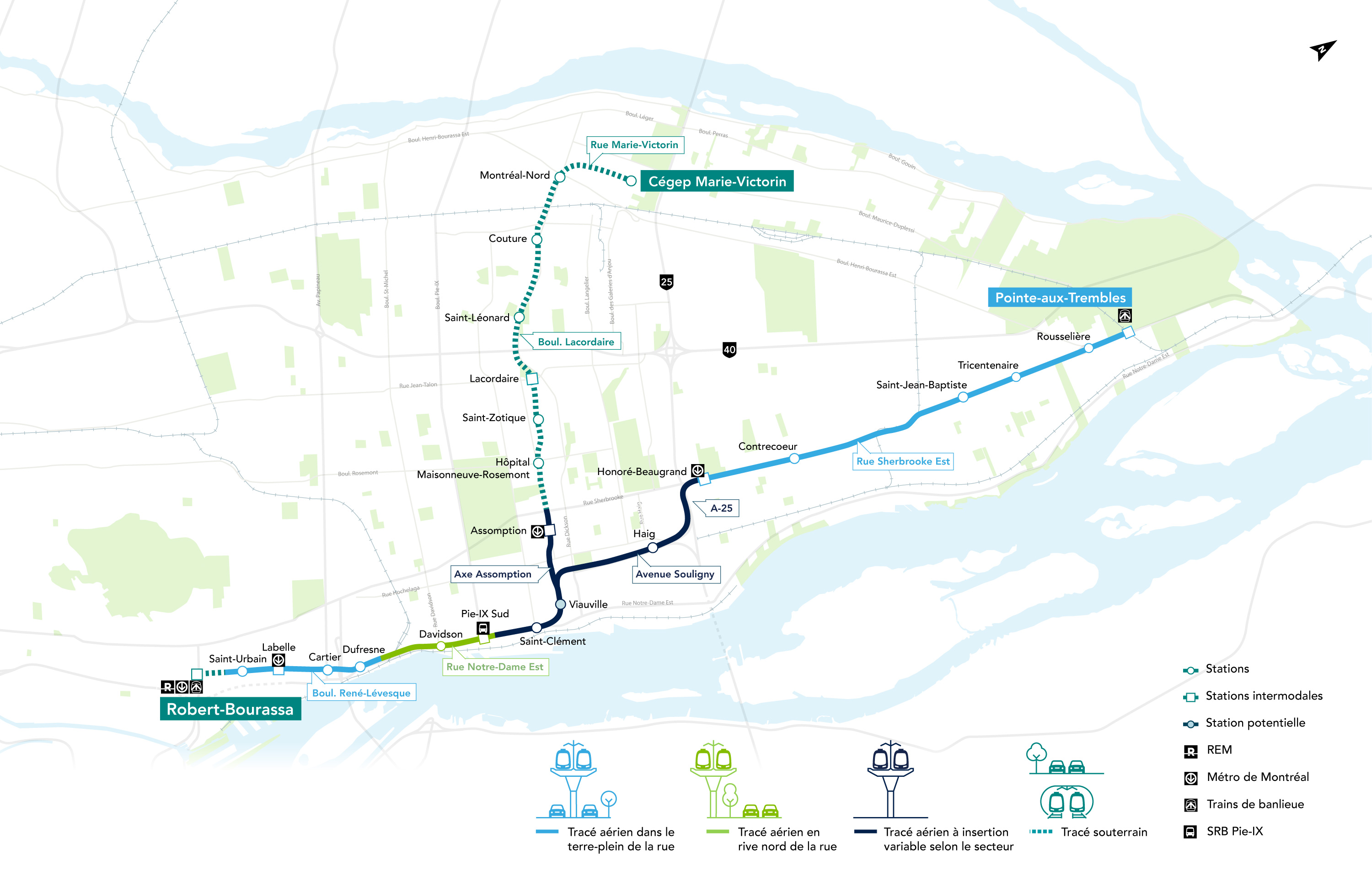
Context
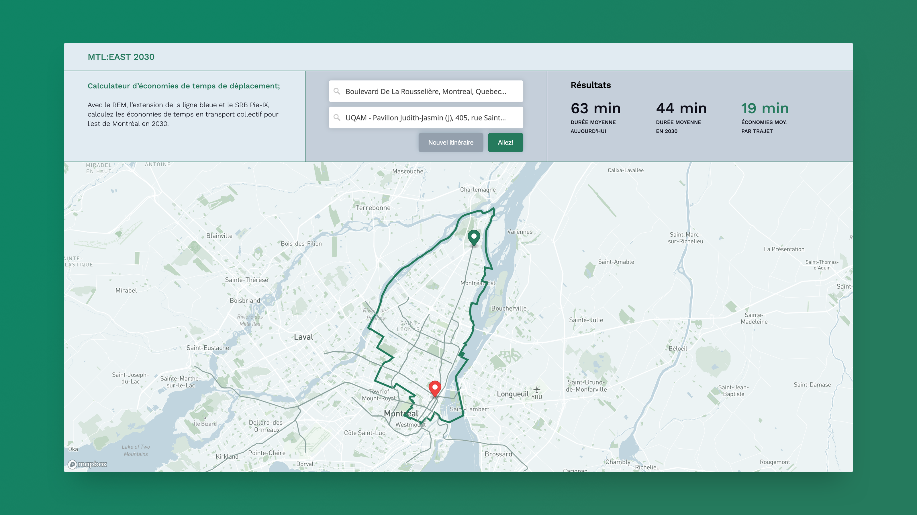
The east end of the island of Montreal is poorly served by public transit. A second phase of the REM, a new automated light metro network currently under construction, plans to connect the east and north ends of the island to key downtown destinations. This $10 billion project has not been independently analyzed. Thus, no public information is available on the accessibility benefits of such a project, nor the potential savings in travel time.
Application
I created a tool to estimate the time savings for travellers departing from the east end of the island. The end result allows users to enter an origin and destination address, then compare the average transit travel time for 2022 VS 2030, when the REM will be operating.
Several technologies were used to model the future network, calculate travel times and develop the application:
- First, I created a GTFS (General Transit Feed Specification) for the REM de l’Est using limited publicly available information, including some engineering documents specifying station locations and projected speeds for network segments.
- Centroids from an H3 grid were used as a proxy to create an m:n origin-destination matrix covering the island of Montreal.
- The R5R (R) library was used to compute travel times for the OD matrix for (1) the 2022 GTFS network and (2) the modified 2030 GTFS with the addition of the stations and lines of the future REM de l’Est.
- The application geocodes the origin and destination address to find the pre-computed H3 pair, makes a query to an API, and shows the travel time savings.