The World Bank worked with the Ministry of Public Works and Transport of Haiti to release an urban
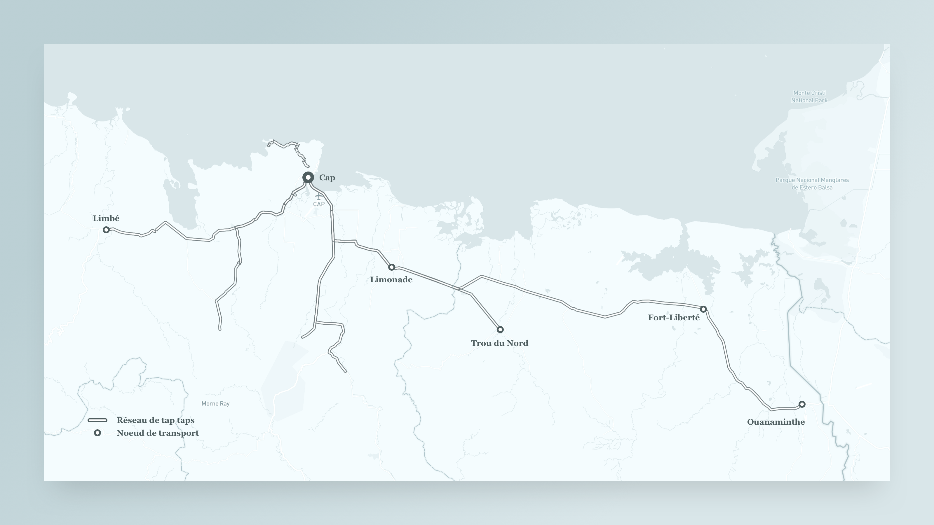
mobility study of Cap-Haitien, the country’s second largest city. They approached us to map the tap
taps’ routes to determine the extent of the informal network and figure out the supply and demand. I
worked in Cap-Haitien with a small management team and twelve data collectors to complete the
project in less than a week, collecting multiple samples of all routes at different periods of the
day.
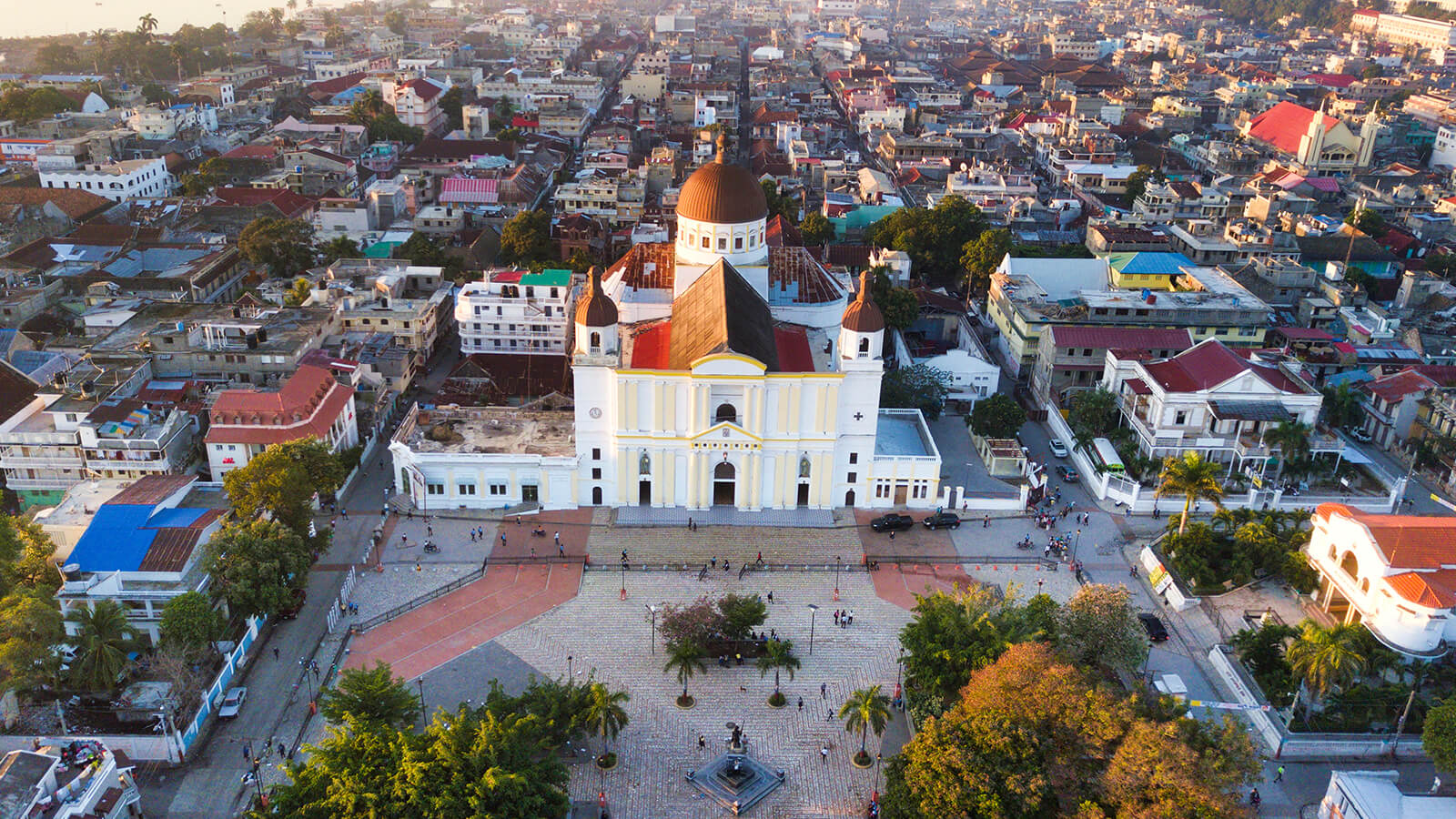
Photos: (a) Cathédrale Notre-Dame du Cap-Haitien, where our offices were located
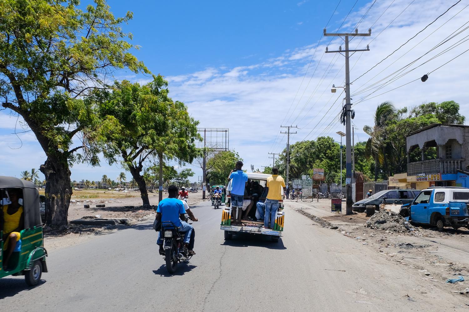
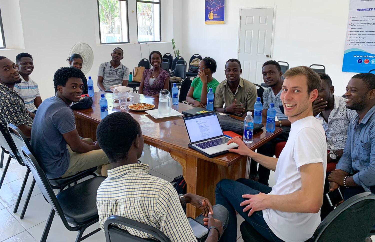
(b) Following a tap tap in the streets of Cap-Haitien. (c) The team during a validation
session.