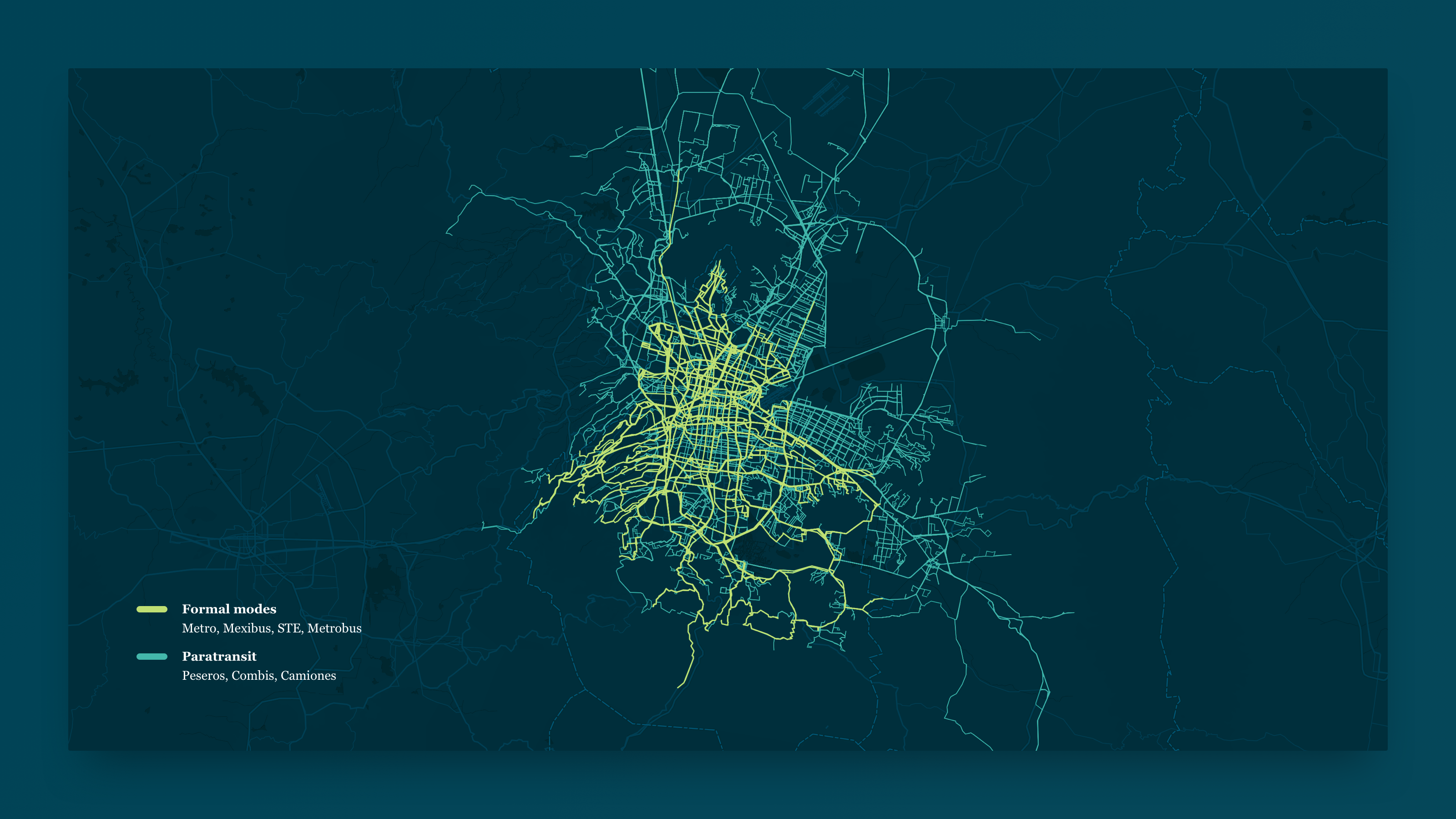
Challenge
The Inter-American Development Bank (IADB) contracted us to collect and compile data for all transport modes — formal and paratransit — in Mexico’s metropolitan area. They needed an accurate snapshot of the city’s transportation network to design a detailed employment accessibility study. Data points on the colectivos network — GPS tracks, frequent bus stops, route schedules, passenger counts, etc. — were essential to generate a complete portrait of the network’s opportunities and gaps.
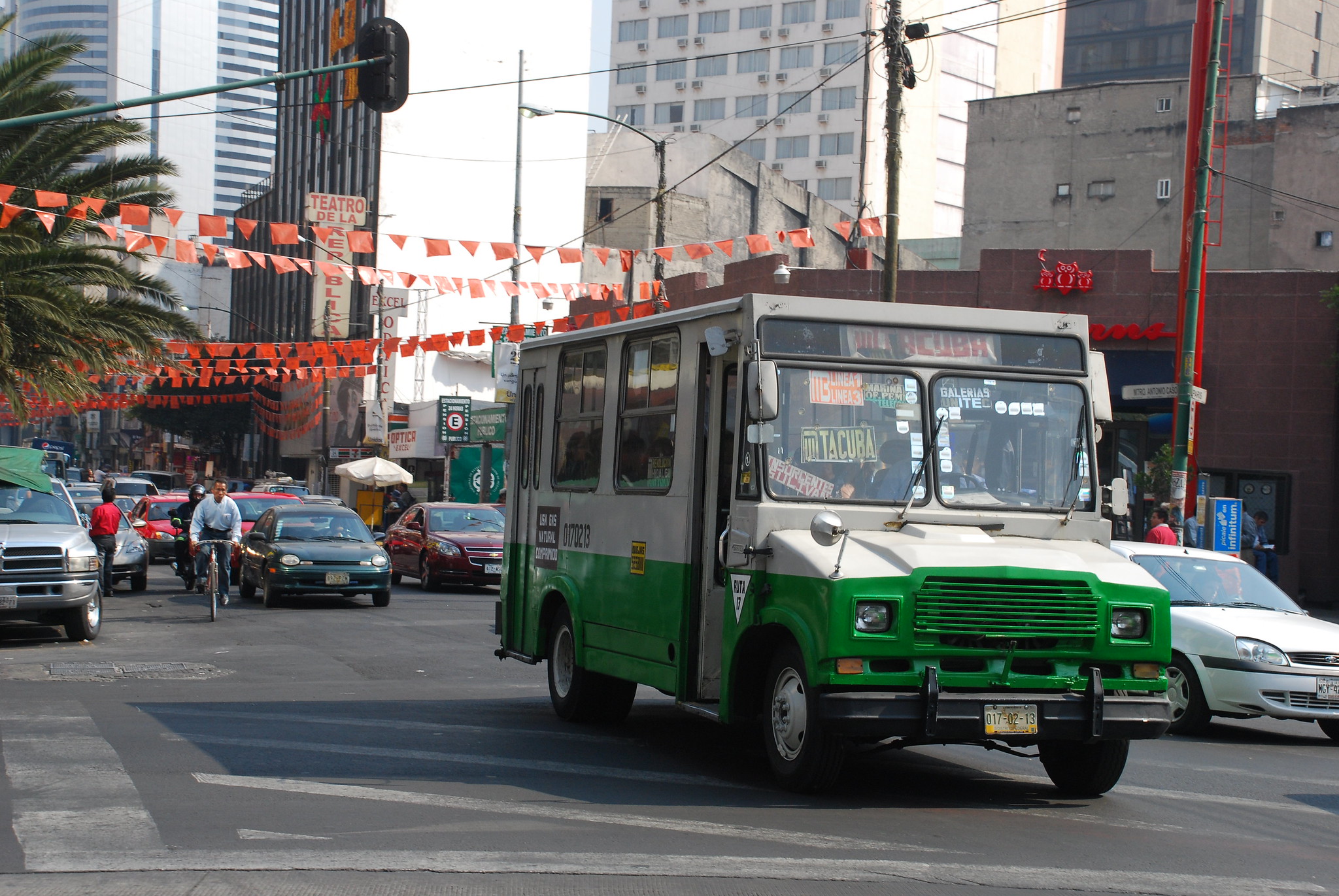
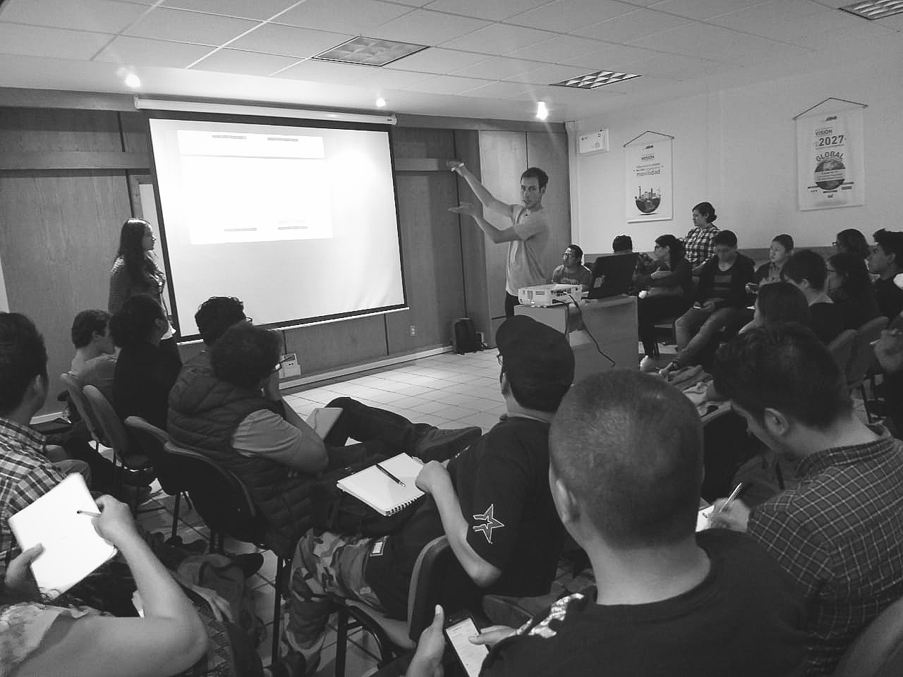
Photos: Microbus in CDMX; Training of data collectors.
Data collection
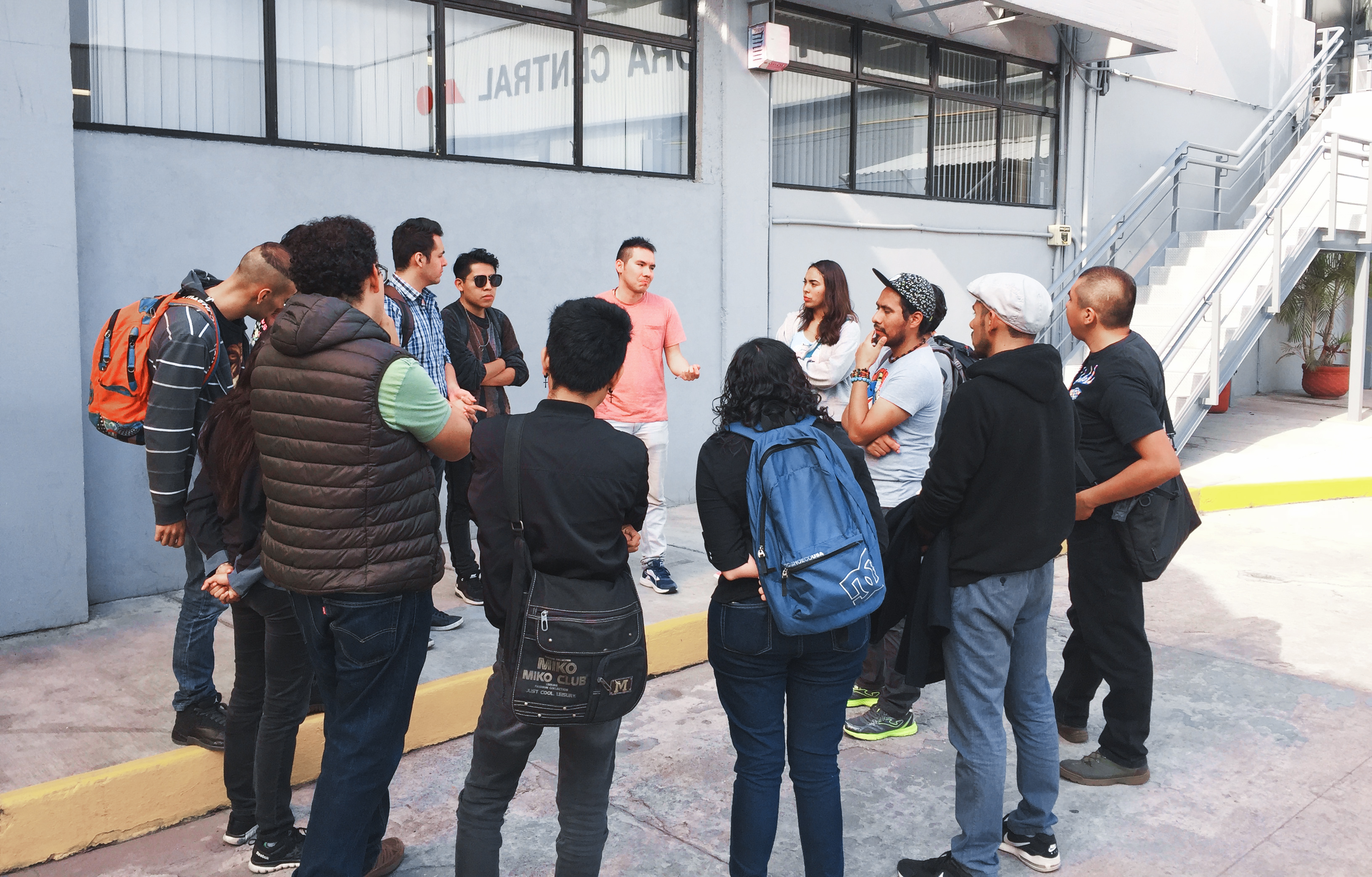
I spent a month in the field, running a team of 40 data collectors and managers across three office bases. We captured a total of 1,082 paratransit routes (colectivos) covering over 28,000 kilometers of service in just a few weeks. Following our field efforts, I supported the review and cleaning processes before delivery to IADB.
To date, it’s the most accurate and comprehensive public transport data set available for Mexico City. It is currently maintained and updated by WhereIsMyTransport. The GTFS we created powers itinerary suggestions in Google Maps and for the first time enables commuters to plan trips beyond the limits of CDMX's formal transportation network.